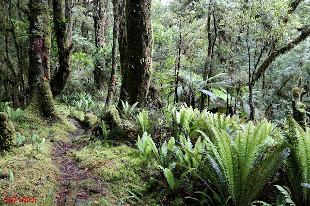
Tutoko Valley Track, Milford Road, Fiordland National Park, New Zealand
Features:
View of Mt Tutoko (The highest peak in Fiordland National Park ), Mossy Forest
Car Park: (44°40'41.6"S 167°57'48.8"E)
(-44.678223, 167.963553)
Tutoko Valley Car Park, 114km /1.75hrs drive from Te Anau Town
Center
Route: Tutoko Valley
Total Distance: 9.6km return
Total Uphill: 386m (El.40m
to 250m )
Walking Time: Total 4.5hrs return
Season:
Early January
Track Status: Flat but wet after rain
Weather:
Cloudy with fine spells
Tutoko Valley , Te Wāhipounamu(South West New Zealand World Heritage Area)
Relevant Information:
Te Anau, Milford Sound, 


沒有留言:
張貼留言